Explore
Featured
Recent
Articles
Topics
Login
Upload
Featured
Recent
Articles
Topics
Login
Upload
Search Results for 'latitude maps'
latitude maps published presentations and documents on DocSlides.
Unit 1: Canada, G eography and You
by sherrill-nordquist
September 2014. What is Geography?. Geography is ...
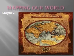
Mapping our world
by tawny-fly
Chapter 2. Section 2.1. Latitude and Longitude. C...
Unit 1: Canada,
by tatyana-admore
G. eography and You. September 2014. What is Geog...
Geography Vocabulary pg
by sherrill-nordquist
. 3. Copy the following definitions:. Geography....
Sections 2 & 3: Latitude and Longitude and Maps
by test
Chapter 6. Views of Earth. Latitude. The equator ...
Cartography 101 The Basics of Maps, Map Making and Location
by tawny-fly
Map Basics. All quality maps have the . following...
There are many kinds of maps!
by giovanna-bartolotta
Claudia . Mesnil. -Baez . Social Studies Lesson g...
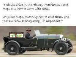
“Today’s drive in the History Machine is about maps and
by pamella-moone
Why are maps, knowing how to read them, and to dr...
Good Morning 701 Enter the room Quietly
by jane-oiler
Wait to be called for lockers . Blue Slips/Permis...
NAUTICAL CHARTS
by tatyana-admore
I. Purpose of Nautical Charts. Nautical charts a...
Maps and Globes are Models of Earth
by tatyana-admore
Section 1.2. Maps and Globes. A map is a flat mod...
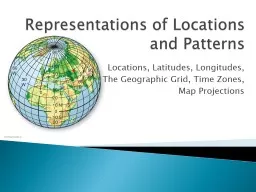
Representations of Locations and Patterns
by test
Locations, Latitudes, Longitudes, . The Geographi...
Representations of Locations and Patterns
by lindy-dunigan
Representations of Locations and Patterns Locatio...
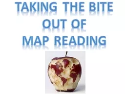
Taking the bite out of
by sherrill-nordquist
Taking the bite out of map reading The World of ...
Geography Skills Is the Earth flat?
by enteringmalboro
How do you know whether it is or isn’t?. Who mad...
UNIT 4: MAPPING THE EARTH
by anastasia
After . Unit . 4 you should be able to:. Accuratel...
Global Regents Prep Unit 1: Geography Review
by genesantander
Before We Begin . . .. SWBAT/Aim:. Illustrate . w...
Cartography Maps Continents
by cheryl-pisano
Oceans. Longitude/Latitude. Hemispheres. Topograp...
What is Geography?
by tatyana-admore
Dr. East 9/10/2015. 1. Continental. . Mapping Ac...
Social Studies Map review:
by test
Day 1:. Why are the tropics of Cancer and Caprico...
Introduction to Cartography
by kittie-lecroy
GEOG 2016 E. Lecture-1. Introduction and Overview...
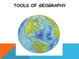
Tools of Geography GEOGRAPHY
by asmurgas
The . study of the human and . . nonhuman. ...
Scientific investigation &
by briana-ranney
mapping. Scientific Method. A . scientific theory...
Chapter 1 Key Issue 1 Why is Geography a Science
by lois-ondreau
Big Question. Place. Region. Scale. Space. Connec...
HOW TO NAVIGATE WHERE FAMILIAR LANDMARKS ARE NOT AVAILABLE
by tatyana-admore
How do I get to where???. Earthquakes, tsunamis, ...
Using Arc Reader to Locate
by debby-jeon
12-Digit HUCs. 1. Contents. Chapter 1. : Download...
Load More...